
← Land and homestead planning
H01-03 · Module 3 of 7 · Pages: 22 · Worksheets: 8
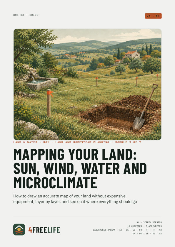
Mapping your land: sun, wind, water and microclimate
How to draw an accurate map of your land without expensive equipment, layer by layer, and see on it where everything should go
€9
Secure checkout with Stripe · VAT included · The PDFs are in the language of this page.
Whole series: Land and homestead planning, €39
In short
- Draw the map to scale, on graph paper or on a computer, never freehand.
- Each topic is its own layer: base, levels, sun, wind, water, cold air, outside influences.
- Measure levels with an A-frame or a water level that costs next to nothing.
- Map water during a heavy downpour and frost at dawn after a clear night.
- A good map is made over a whole year, not in one weekend.
What's inside
Chapters
- What you need and which scale
- The base: boundaries and what's already there
- Levels and slope
- Sun through the year
- Wind
- Water: where it flows
- Cold air and microclimate
- Other sectors: what comes in from outside
- The final map
- Common mistakes
- Printable checklist
Worksheets
- Field measurements
- Sectors and horizon
- Microclimate and wind log
- How much water runs off
- Legend and layers
- A year of making the map
- Base map
- Final map with layers
Fields and checkboxes can be filled in with Adobe Acrobat Reader (desktop and mobile), and the calculator adds up by itself. Filling in may not work in some browsers. A print version comes with the screen PDF.
This guide in other languages: